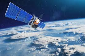
A geographic information system (GIS) is a computer-based tool for mapping and analyzing feature events on earth. Remote sensing is the art and science of making measurements of the earth using sensors on airplanes or satellites. Remote Sensing and GIS technologies are well-established tools and are routinely used in applied hydrology, in precipitation estimation, runoff computations, evapotranspiration over land surface, evaluation of soil moisture content, water quality modeling groundwater, identification and estimation hydrological modeling.