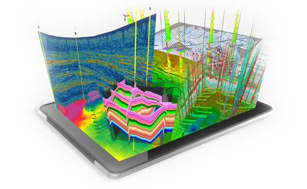
Geomodeling is integral to understand earth processes and manage resources and natural hazards. We provide multi-approach workflows to integrate recent developments in quantitative geology (and other related disciplines) and numerical and geostatistical modeling to build models that render the reality of geological and environmental phenomena. A key goal in our Geomodeling practices is to simulate 2D/3D images of reservoir systems properties (extension, discontinuities, heterogeneities, petrophysics, permeability…) and their relative uncertainties that reveal the impact of multi-scale features on connectivity, dynamic behavior and recoverable reserves.